As-Built Drawings & Floor Plans in Cambridge
Measured drawings of Cambridge buildings as they actually stand, from Galt stone storefronts and Hespeler mills to modern industrial units. Floor plans, elevations and sections in DWG, RVT and PDF.
- Galt, Preston and Hespeler
- Stone and heritage buildings
- Industrial and warehouse space
No obligation. Send your project details and we reply within one business day.
Request a quote
Tell us about the building. We respond within 24 hours with fixed pricing.
Takes 30 seconds. No spam, your details are never shared.
Three old towns, one city, very few accurate drawings
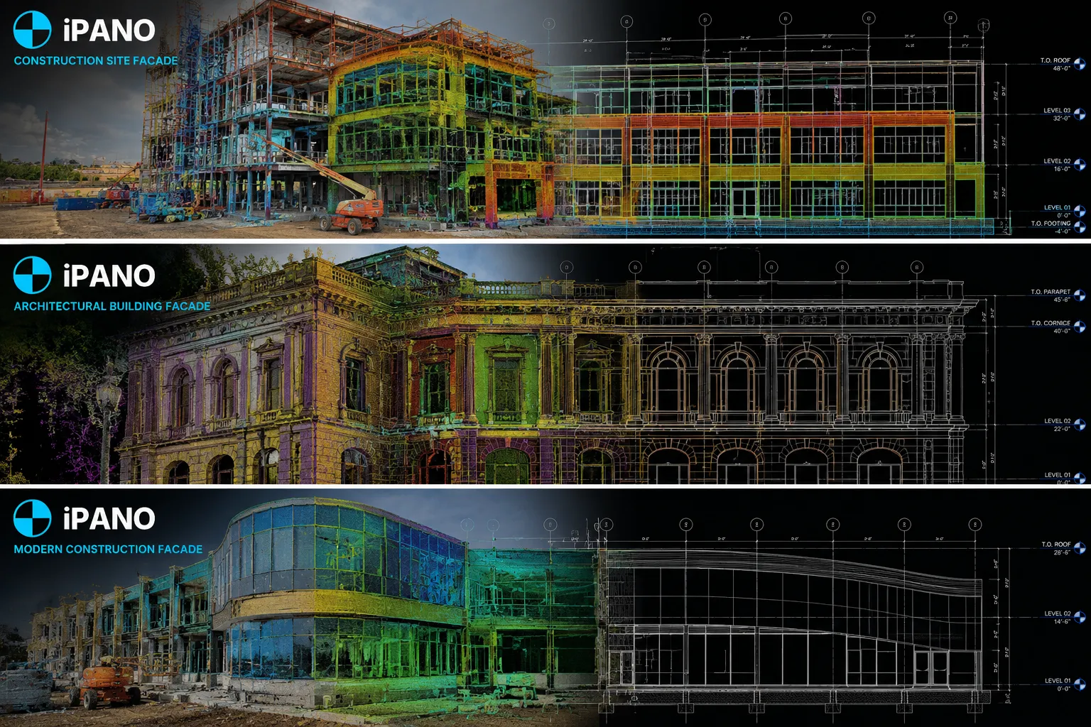
Cambridge was formed from the towns of Galt, Preston and Hespeler, and each still has its own historic core. Along the Grand River you find limestone and brick commercial blocks, churches and former textile mills, many of them now apartments, studios or offices. Their walls are thick, rarely square and almost never documented in a way a designer can rely on.
The city is also an industrial centre, with automotive, manufacturing and logistics buildings spread across its business parks. Those buildings are expanded and re-laid out constantly, and each change starts with knowing exactly where the columns, doors and clear heights are today.
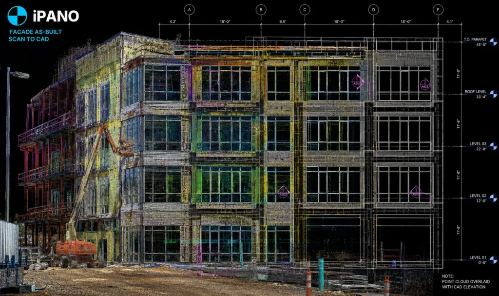
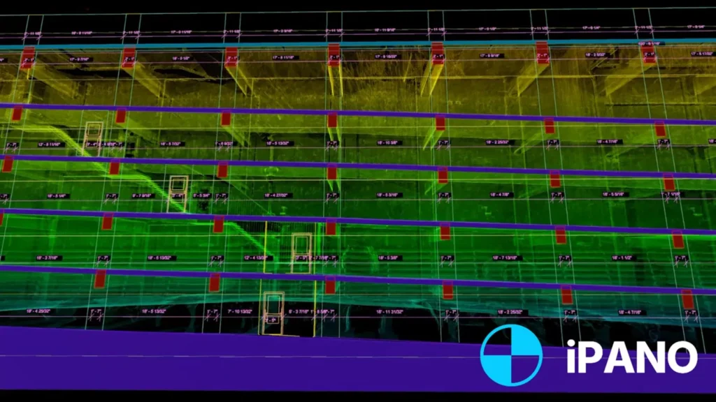
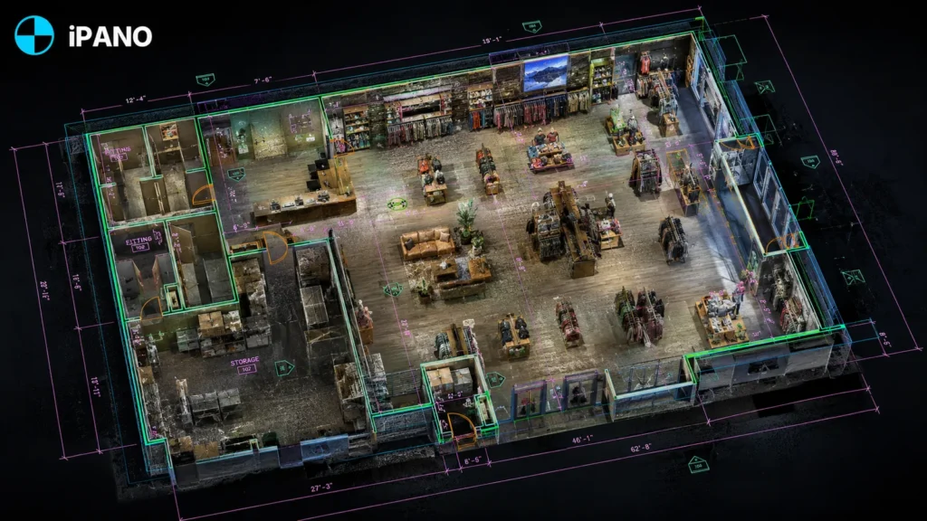
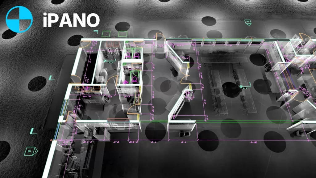
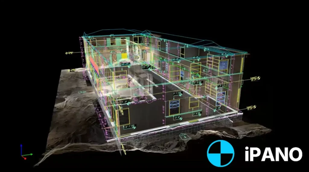
We scan once and draft plans, elevations and sections from the point cloud, including the irregular geometry of stone buildings that hand measurement tends to get wrong.
What we document across Cambridge
Heritage storefronts and mills
Facades and interiors of stone and brick buildings in Galt and Hespeler, recorded for restoration, conversion and heritage permit applications.
Industrial and logistics
Column grids, dock doors and clear heights captured for racking layouts, expansions and leasing across the business parks.
Homes and additions
Existing-conditions drawings for older houses in Preston and West Galt ahead of additions, basement units and renovations.
Riverfront conversions
Former industrial buildings along the Grand River documented before they become apartments, offices or event spaces.
From point cloud to drawing
How a project runs
Tell us about the building
Send the address, approximate square footage, and the deliverables you need. We reply with fixed pricing within 24 hours.
We capture on site
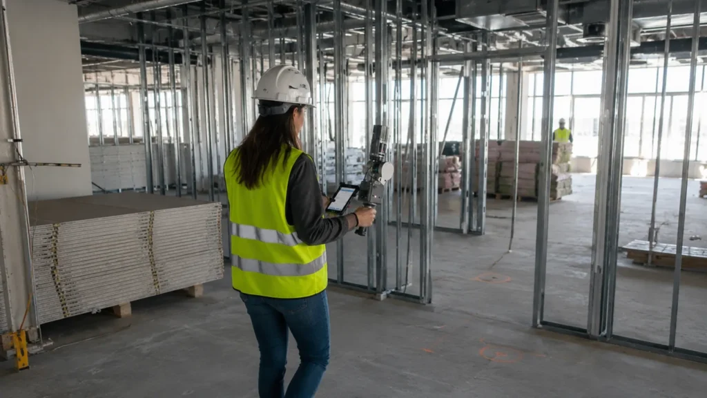
Our field team documents the full building in a single visit. Non-intrusive, no shutdown required.
Production and QA
Drawings are drafted from the registered point cloud and checked against it before release.
Delivery on schedule
Files arrive in DWG, RVT, IFC, and PDF, on a timeline committed in your quote.
Common questions in Cambridge
Do you cover all of Cambridge and North Dumfries?
Can you document a stone building without damaging it?
Can you scan an operating plant or warehouse?
Can I use the drawings for a minor variance or heritage application?
How do I get pricing?
Other cities we serve
- Toronto, Ontario
- Vancouver, British Columbia
- Calgary, Alberta
- Montreal, Quebec
- Ottawa, Ontario
- New York, New York
- Los Angeles, California
- Chicago, Illinois
- Houston, Texas
- Miami, Florida
- Ajax, Ontario
- Alliston, Ontario
- Aurora, Ontario
- Ayr, Ontario
- Barrie, Ontario
- Belleville, Ontario
- Bowmanville, Ontario
- Bradford, Ontario
- Brampton, Ontario
- Brantford, Ontario
- Brockville, Ontario
- Burlington, Ontario
- Chatham, Ontario
- Cobourg, Ontario
- Collingwood, Ontario
- Cornwall, Ontario
- Elmira, Ontario
- Fergus, Ontario
- Georgetown, Ontario
- Goderich, Ontario
- Guelph, Ontario
- Hamilton, Ontario
- Huntsville, Ontario
- Kingston, Ontario
- Kitchener, Ontario
- Lindsay, Ontario
- Listowel, Ontario
- London, Ontario
- Markham, Ontario
- Midland, Ontario
- Milton, Ontario
- Mississauga, Ontario
- New Hamburg, Ontario
- Newmarket, Ontario
- Niagara Falls, Ontario
- North Bay, Ontario
- Oakville, Ontario
- Orangeville, Ontario
- Orillia, Ontario
- Oshawa, Ontario
- Owen Sound, Ontario
- Peterborough, Ontario
- Pickering, Ontario
- Richmond Hill, Ontario
- Sarnia, Ontario
- Sault Ste. Marie, Ontario
- St. Catharines, Ontario
- St. Thomas, Ontario
- Stratford, Ontario
- Sudbury, Ontario
- Thunder Bay, Ontario
- Vaughan, Ontario
- Waterloo, Ontario
- Welland, Ontario
- Whitby, Ontario
- Windsor, Ontario
- Woodstock, Ontario
Get a fixed quote within 24 hours
Send your Cambridge project details and receive transparent pricing and a clear scope for your drawings.
Request a quote